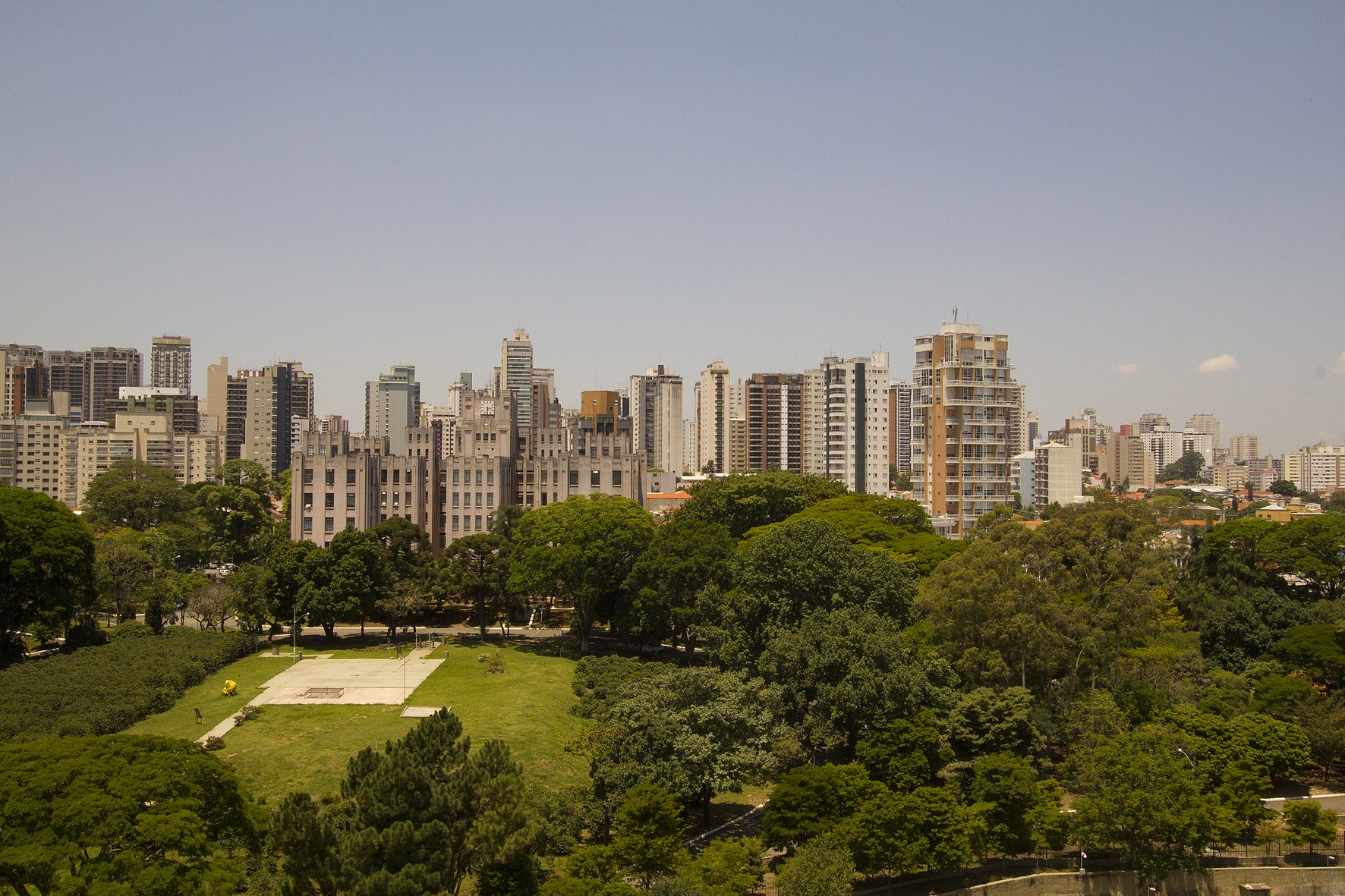

Example of an informal green space: campus of the Biological Institute, in the neighborhood of Vila Mariana (photo: Marcos Santos/USP Imagens)
Designed for use by the academic and school community, the cartographic database totals 572 polygons, of which 48% are clubs and cemeteries.
Designed for use by the academic and school community, the cartographic database totals 572 polygons, of which 48% are clubs and cemeteries.

Example of an informal green space: campus of the Biological Institute, in the neighborhood of Vila Mariana (photo: Marcos Santos/USP Imagens)
Agência FAPESP* – The Transfer and Dissemination team at the Center for Metropolitan Studies (CEM) has mapped the so-called “informal green spaces” in the São Paulo Metropolitan Region (SPMR) in Brazil, which play an important role in the local environment.
This category includes clubs, cemeteries, various institutions located in large permeable and wooded areas, residential condominiums, large squares, landfills and significant portions of vegetation in urban environments.
Designed for use by the academic and school community, the database was created with support from the archives of the CEM, a FAPESP Research, Innovation and Dissemination Center (RIDC) based at the University of São Paulo (USP) and the Brazilian Center for Analysis and Planning (CEBRAP).
“Visually, they resemble parks or large squares, and in practice, they certainly fulfill the functions of moderating the microclimate, beautifying, absorbing rainwater, and sheltering the fauna of birds, insects and small mammals,” points out José Donizete Cazzolato, geographer and CEM researcher in charge of the work.
The cartographic database totals 572 polygons, of which 48% are clubs and cemeteries. Also included are university campuses and areas of other educational or religious institutions, squares occupied by equipment but with trees, landfills and indigenous lands. Road junctions, such as cloverleafs and roundabouts, and tree-lined streets were not included due to the difficulty of collecting data on these features throughout the SPMR.
In the latest update of the database, a new type of informal green space was included, called “prominent vegetation.” These are areas of denser trees that stand out in urbanized areas, some of which are remnants of native forest. “When we did the research to build this database, we realized that these areas warranted an alternative look at the environmental issue in metropolitan agglomerations,” says the researcher.
The database also contains conservation units of the environmental protection area type. This type is the least restrictive in the National System of Conservation Units, but it covers large areas, often encompassing entire municipalities throughout Brazil.
The public can access the repository via the “Download of Data” channel of the CEM website by selecting the “Environment” item in the blue menu on the left and then “View More” under the heading “Informal Green Spaces of the São Paulo Metropolitan Region.”
* With information from the CEM.
Republish
The Agency FAPESP licenses news via Creative Commons (CC-BY-NC-ND) so that they can be republished free of charge and in a simple way by other digital or printed vehicles. Agência FAPESP must be credited as the source of the content being republished and the name of the reporter (if any) must be attributed. Using the HMTL button below allows compliance with these rules, detailed in Digital Republishing Policy FAPESP.


